

Tropical Storm Isaias forecast to become first Atlantic hurricane of 2026
El Niño has led to an eerily quiet season so far but the first Atlantic hurricane of the year is now set to impact the southern USA.
REALNEWS HUB Newsroom
Oct 7, 2026, 16:27 UTC
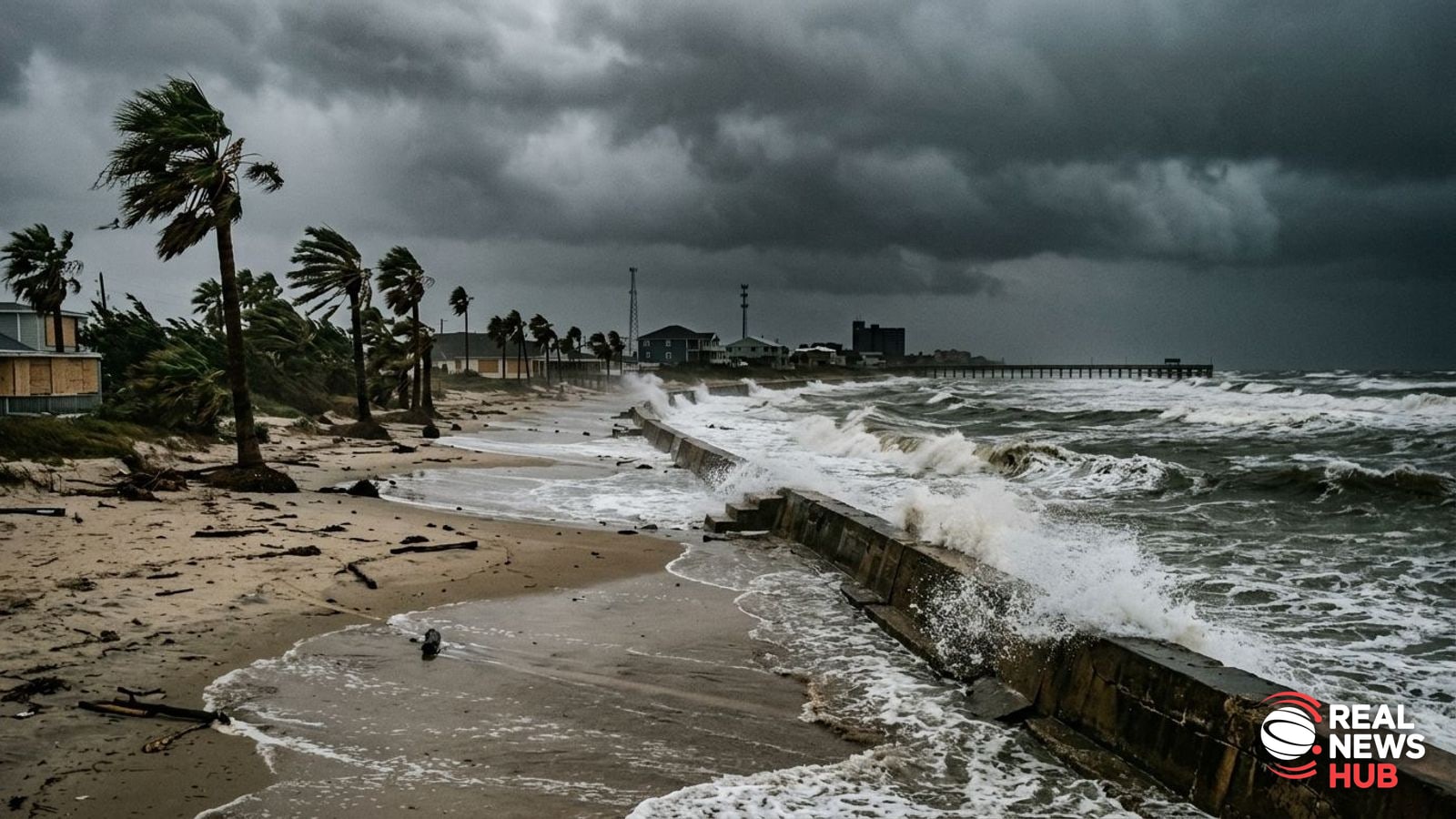
Meteorologists project that a newly developed weather system over Gulf of Mexico waters will strengthen into the Atlantic basin's inaugural hurricane of 2026, targeting the southern United States late this week.
Tropical Storm Isaias is predicted to reach hurricane status by Thursday morning, according to BBC Weather and the US National Hurricane Center. Experts anticipate the storm could intensify into a Category 2 system by Friday morning, posing hazards such as destructive gales, torrential downpours, and dangerous seawater inundation along coastal regions.
The center of the system is expected to cross the shoreline between late Friday and early Saturday, most likely impacting Florida, Alabama, Mississippi, or Louisiana. Before making landfall in the United States, outer bands may affect areas in Mexico around the Yucatan Peninsula and the Bay of Campeche, where up to four inches of rain and gusty conditions are possible.
Communities along the northern coast of the Gulf, stretching from south-eastern Louisiana across to the Florida Panhandle, could receive between three and six inches of rainfall, with localized totals climbing up to ten inches. Weather authorities warn that such accumulation may trigger flash floods in developed districts and localized overflows along waterways. Coastal stretches also face the prospect of hazardous storm surge flooding.
Official watches covering storm surge and hurricane threats have been activated by the National Weather Service. Preparing for the approaching hazard, Florida Governor Ron DeSantis declared emergency measures encompassing 25 counties throughout the state.
After pushing ashore and cut off from warm marine waters, the system is expected to lose energy. Even as it diminishes, however, heavy rain is projected to spread across a substantial footprint of the southeastern interior, potentially bringing disruptive downpours northward through the Carolinas and into the Tennessee Valley.
Isaias marks the ninth named tropical system in what has been an unusually calm Atlantic corridor throughout 2026. The season's lull has been driven by a record-strength El Niño phase in the Pacific, an atmospheric driver that elevates wind shear across Atlantic waters and frequently halts cyclones before they mature. While Isaias organized thanks to sea surface temperatures hovering near 30 to 31 degrees Celsius and minimal localized shear, forecasters expect increasing upper-level winds further north may cap its ultimate peak intensity.
Source & verification
VerifiedReported from Science.
Get breaking news alerts and the Morning Briefing
Verified stories in your inbox, every one linked to its sources. All newsletters →